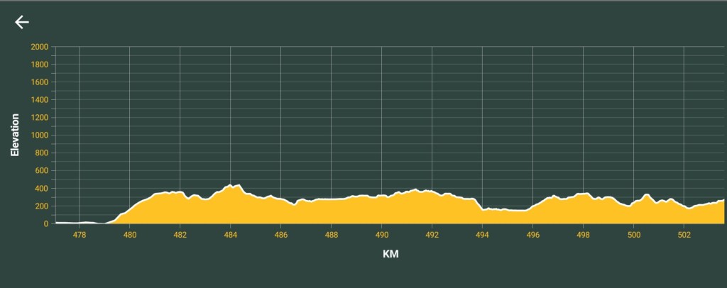
AUCKLAND – MANGAWHAI HEADS
Section Distance = 147 km
Total Distance = 2460 km
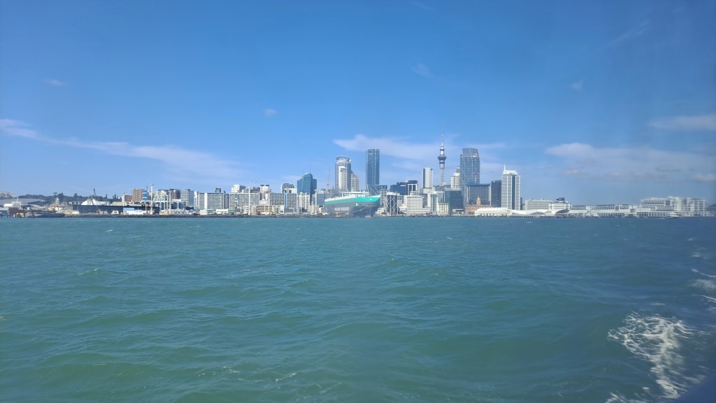
Leaving the Auckland CBD behind I caught the ferry to Devonport where I had the pleasure of brunch with southbound hiker Kris as we traded information about the upcoming sections.
A short hike along footpaths and beach brought me to the Takapuna Holiday Park where I had ocean views from my tent!
I awoke the following day to a dry tent ⛺ YAY, only to have it soaked in a heavy shower 5mins before I packed it up… 🤦♀️
The goal of the day is to make it to the Okura River in time for a low tide crossing. But first, breakfast at the Cafe before I left Takapuna!
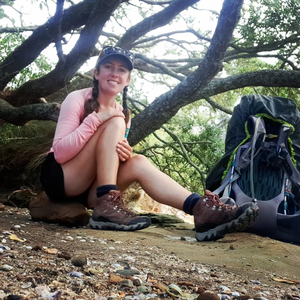
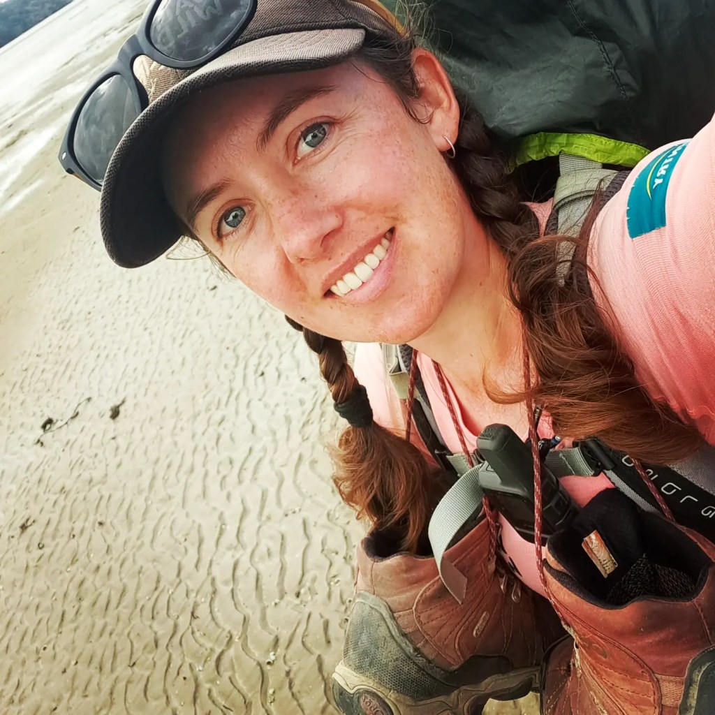
I reached the estuary with 30mins to spare and crossed easily at the marked point (boots off for this one). Butt deep in the middle and I could see Eagle Rays flapping in the shallow as they moved away from where I crossed.
Lovely walk along the shore to Stillwater Camp to dry the tent and enjoy all the drawings done by previous TA hikers on the walls of the recreation room.

An annoying windy roadwalk followed a glorious sunrise out of Stillwater. The tide was still high so I had to stick to the roads all the way to Wenderholm before hitching the final few km into Puhoi to avoid walking on the busy State Hwy 1.
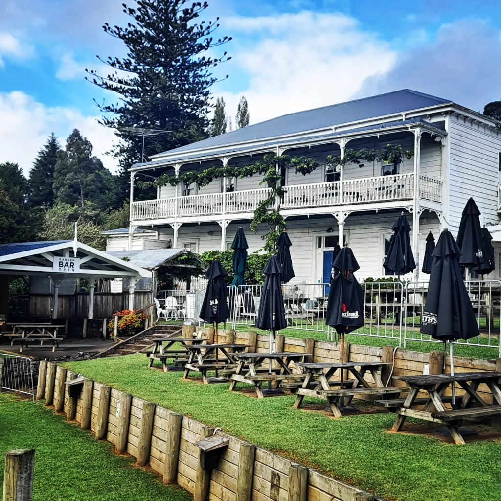
Staying in the historic pub in this cute little town which was pumping with live music for the Saturday crowds 🎶🎶🎶
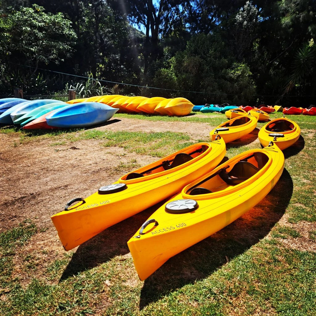
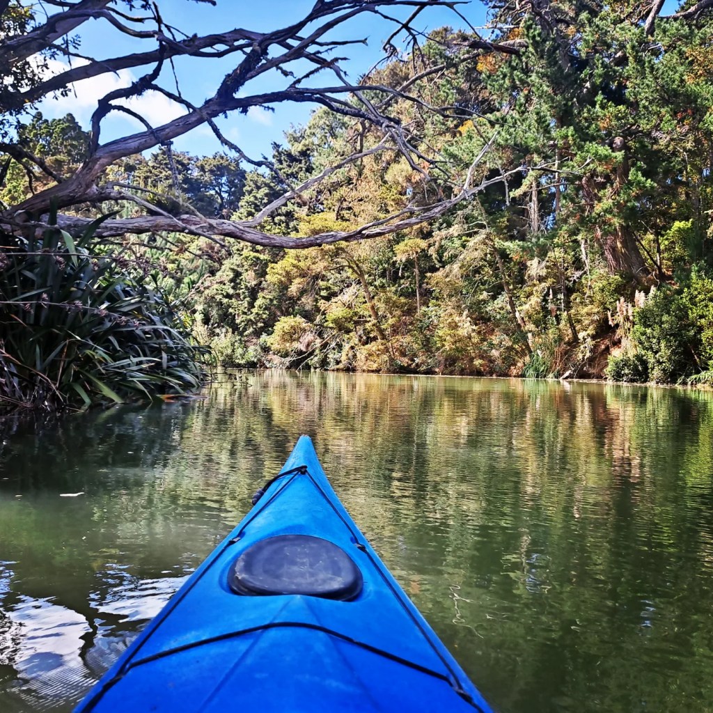
The following day I remained in Puhoi to Kayak the section of river between Puhoi and Wenderholm (to make up the km that I hitched yesterday). With no rapids and only paddleboarders to avoid it was a very relaxing paddle.
The only hitch was the strong easterly blowing in from the coast so instead of being able to paddle all the way to Wenderholm I could only get half way before turning back and returning to Puhoi (which worked out perfectly as I was staying there again that night)
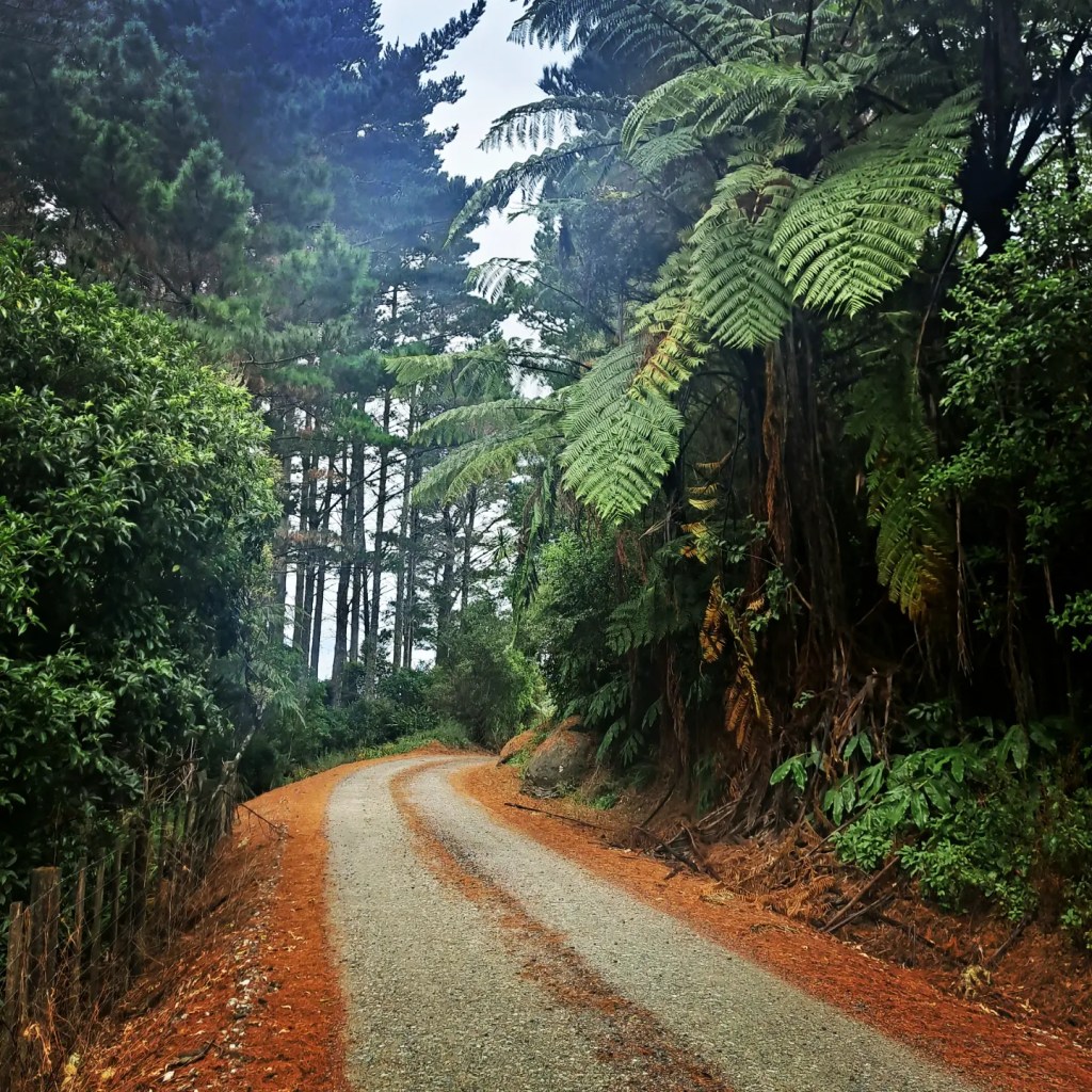
I said farewell to Puhoi at dawn and headed for a hill filled day over to the Dome Valley. A mix of forest, roads, forestry tracks and farmland but one of the best marked sections of trail I have found on the north island so far!!!
Several people stopped me to ask why I was going the wrong way… not many north bound hikers seen in these parts 🤣 🧭
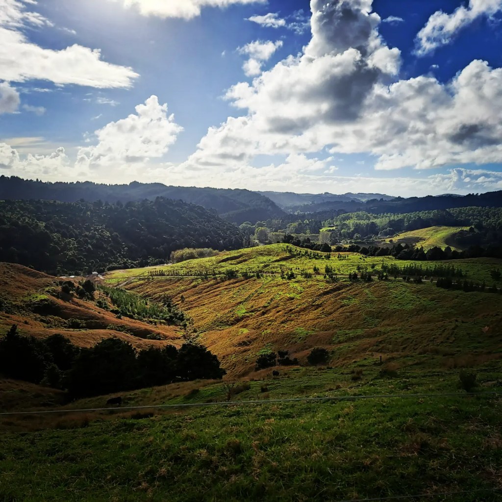
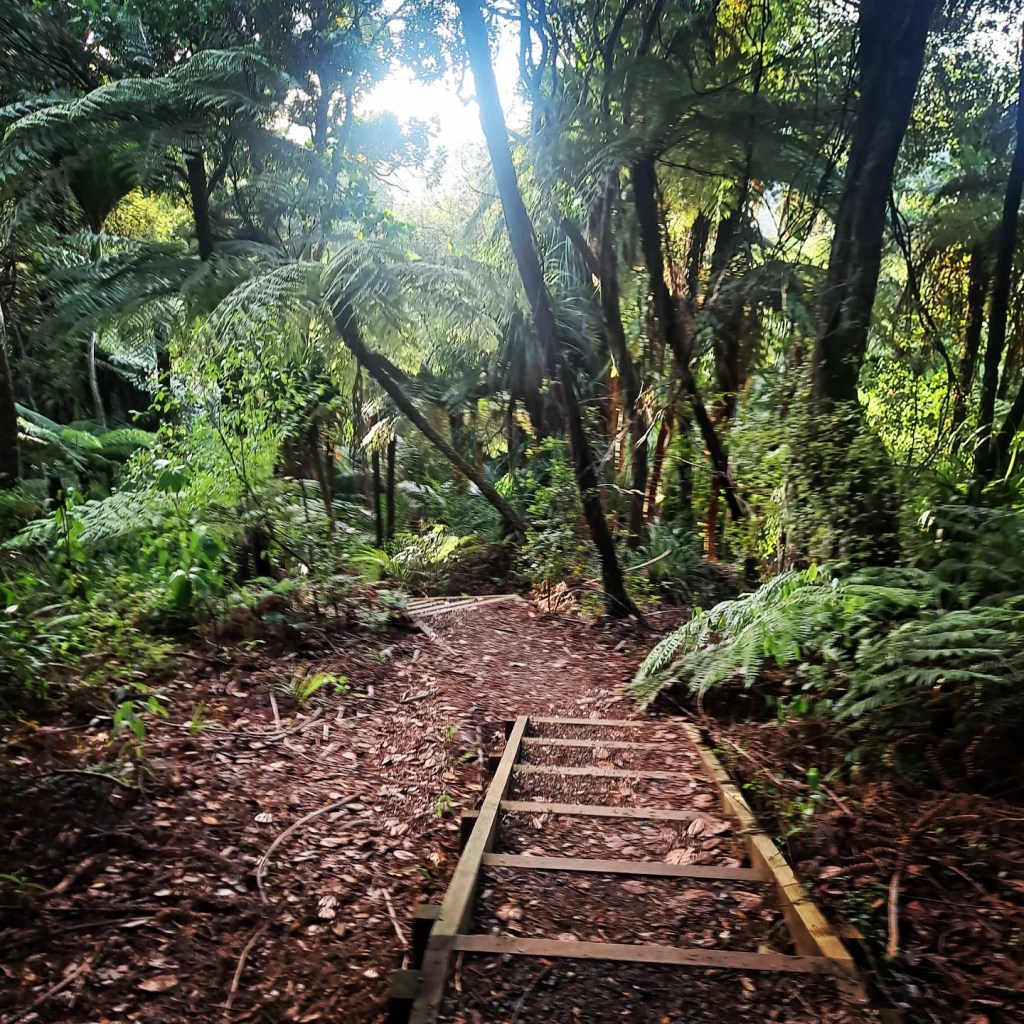

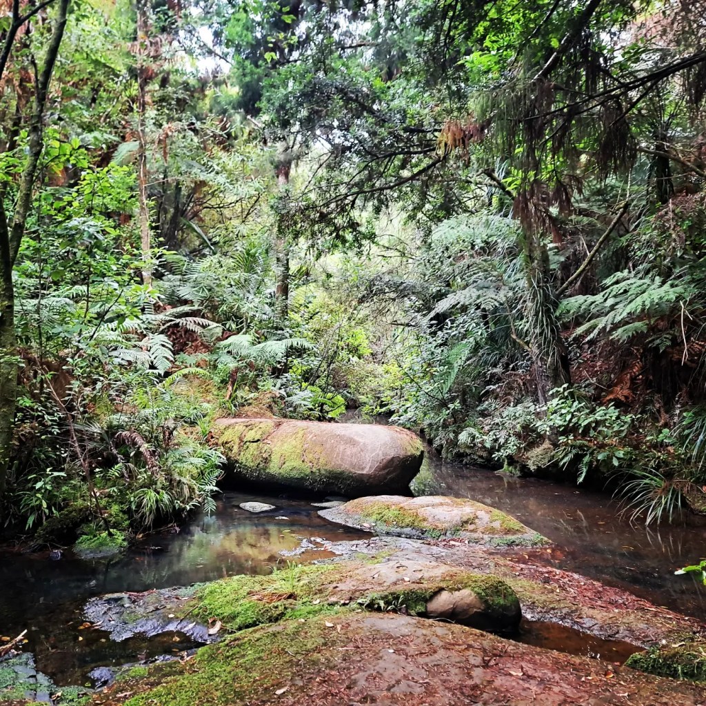
Started the next day with a climb up to the Dome Summit, then on to a stand of 20 mature Kauri trees and followed the steep undulating ridge of the Dome Forest.
This was followed by the Omaha Forest through steep, tree root trails and down a knee murdering final slope into Pakiri.
Lovely forest but a long hard day and a much more challenging section that the flat beaches! 🤣


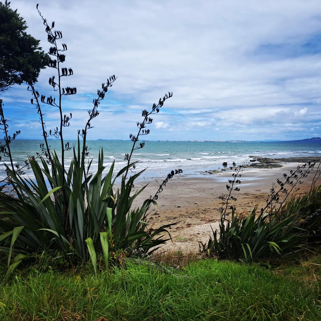
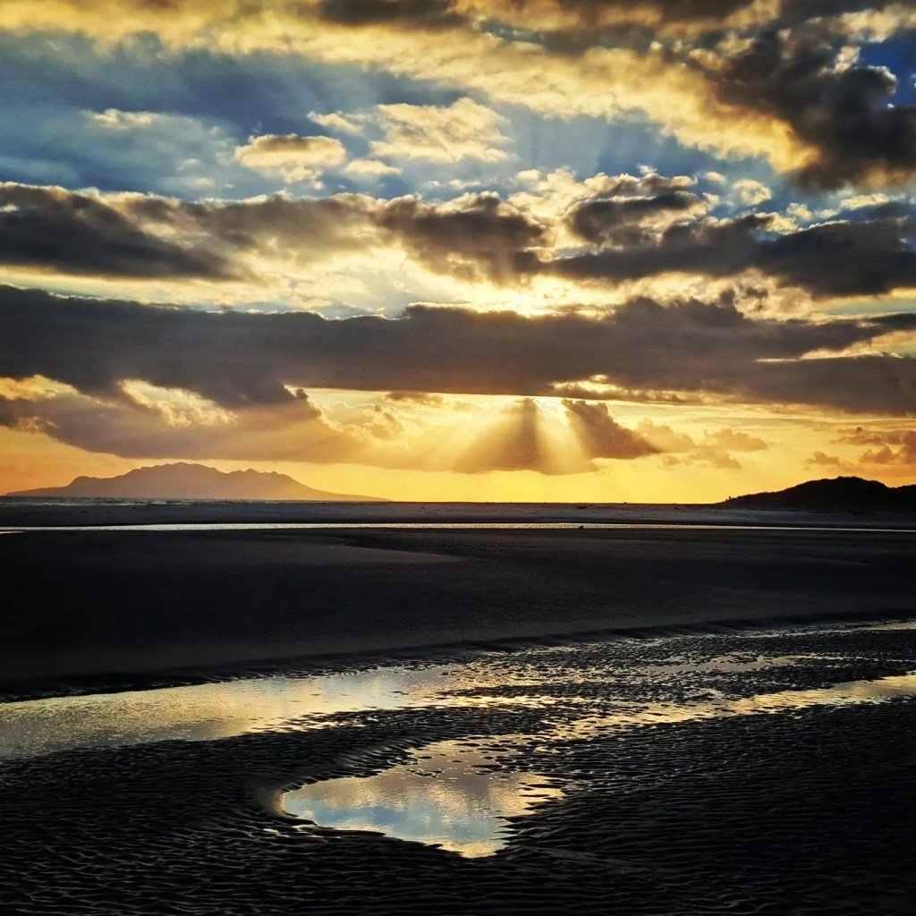
I managed to fit a lot into my day on the walk into Mangawhai Heads from Pakiri! 50m from camp and the boots where off for a river crossing to get to Pakiri Beach (whist admiring another great sunrise 🌅)
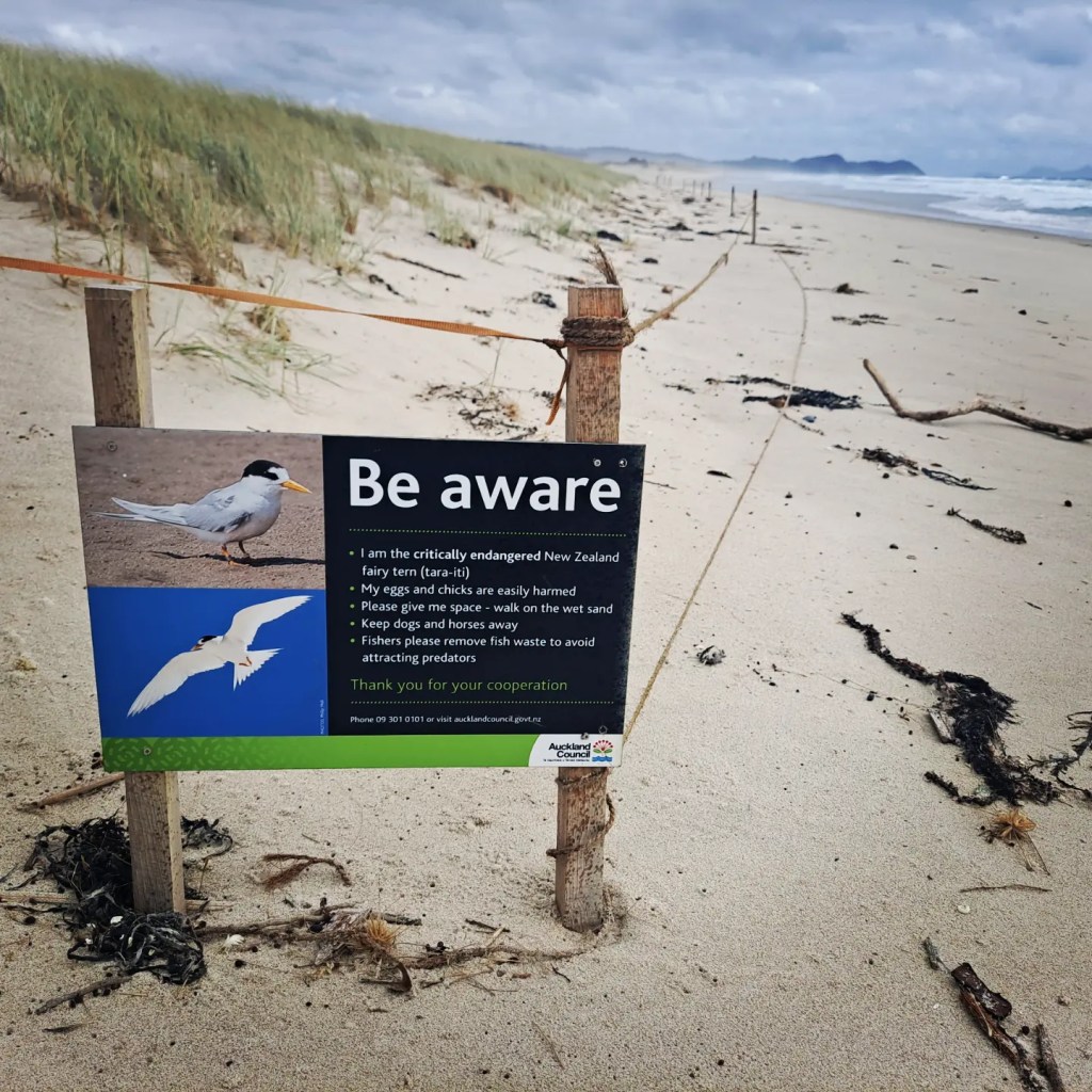
Followed the beach all the way to Mangawhai before cutting inland for the road walk to Mangawhai Heads. Re-supplied on my way ţo stay with Heather from the Fairy Tern Trust. This group is another of the recipients of my fundraising efforts on Te Araroa.
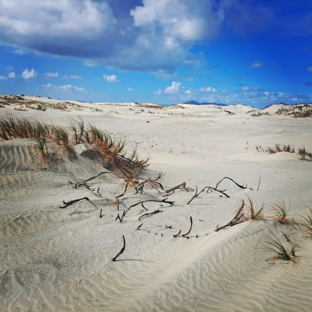
That afternoon Guy, another member of the trust brought the boat around to take me over to the sand spit and show me the breeding grounds for these critically endangered birds. Huge dunes with large spreads of shells was a much different scene than the coast I had walked so far!!!

I am now officially in Northland!!! Look out Cape Reinga I’m getting closer…
